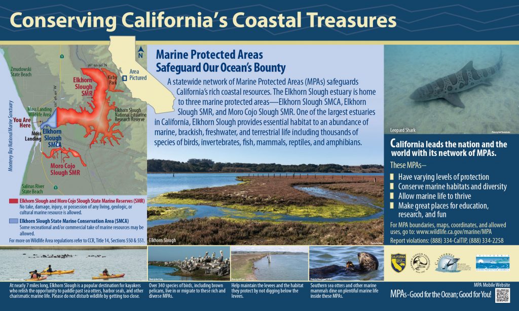
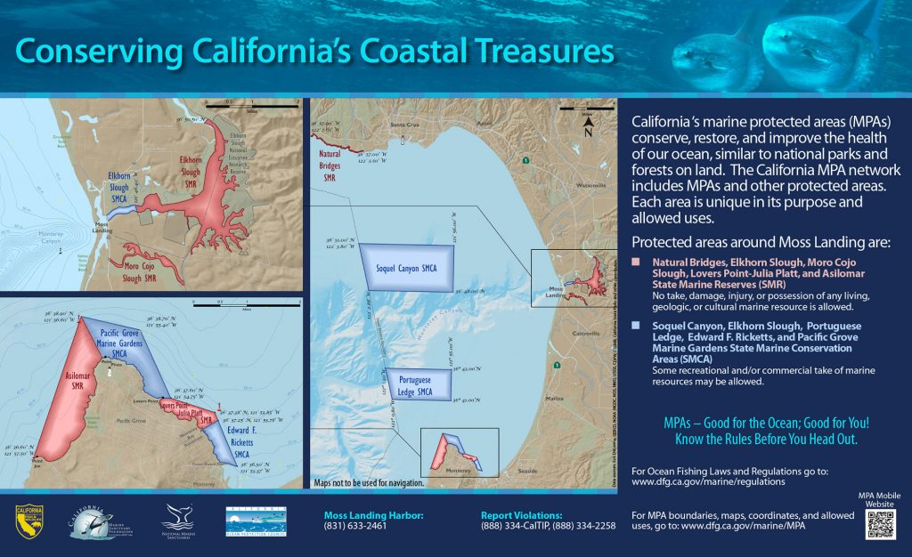
Boundary:
This area includes the waters within Moro Cojo Slough below mean high tide and east of the Highway 1 Bridge and west of the crossing of the Southern Pacific Railroad tracks.
Shoreline Boundary Landmarks:
Extends from the Southern Pacific Railroad tracks on the upstream end to the Highway 1 Bridge downstream.
Permitted/Prohibited Uses:
- Recreational Fishing:
- Allowed Species: None
- Prohibited Species: All
- Commercial Fishing:
- Allowed Species: None
- Prohibited Species: All
Additional Resources:
Effective as of: September 21, 2007