Shoreline Boundary Landmarks:
Extends from the mouth of Gazos Creek (San Mateo County) in the north to the north side of Greyhound Rock (Santa Cruz County) in the south.
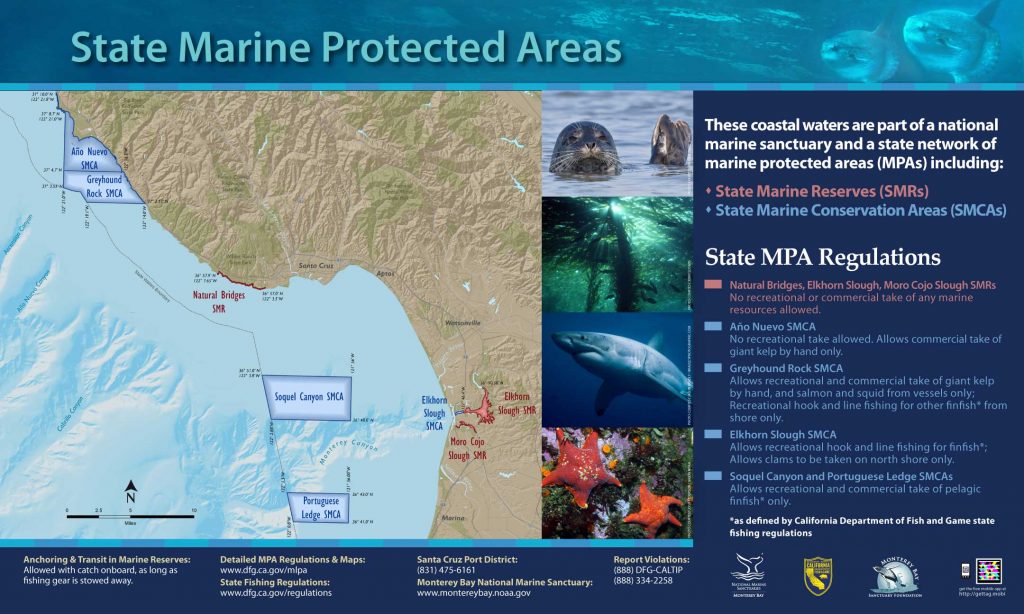
GPS Boundary:
This area is bounded by the mean high tide line and a distance of 200 feet seaward of mean lower low water between the following two points:
37° 10.00′ N. lat. 122° 21.80′ W. long.; and
37° 08.70′ N. lat. 122° 21.00′ W. long.
The area then continues southward bounded by the mean high tide line and straight lines connecting the following points in the order listed:
37° 08.70′ N. lat. 122° 21.00′ W. long.;
37° 04.70′ N. lat. 122° 21.00′ W. long.; and
37° 04.70′ N. lat. 122° 16.20′ W. long.
Permitted/Prohibited Uses:
- Recreational Fishing:
- Allowed Species: None
- Prohibited Species: All
- Commercial Fishing:
- Allowed Species: None
- Prohibited Species: All
Additional Resources:
Effective as of: September 21, 2007