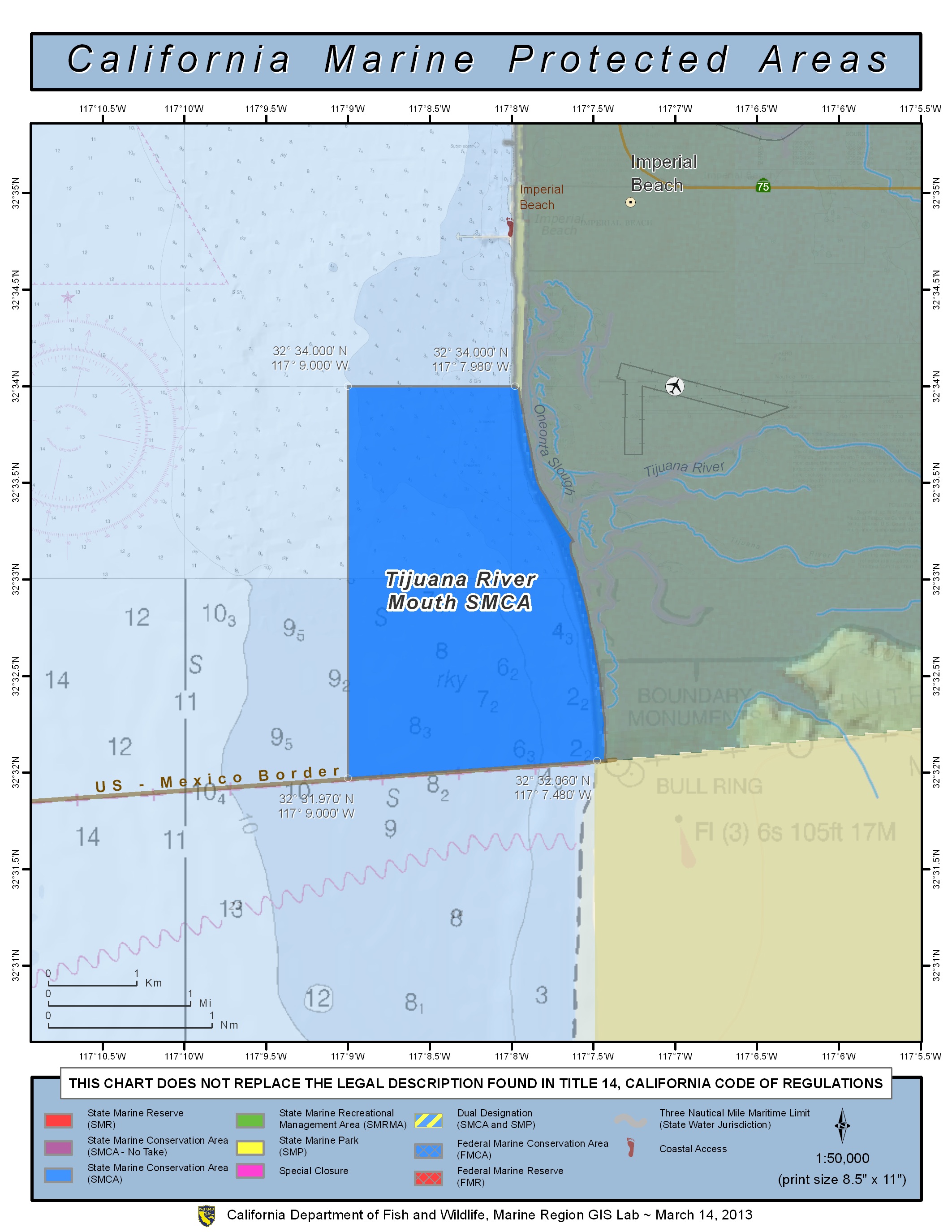
GPS Boundary:
This area is bounded by the mean high tide line and straight lines connecting the following points in the order listed except where noted:
32° 34.00′ N. lat. 117° 07.98′ W. long.;
32° 34.00′ N. lat. 117° 09.00′ W. long.;
32° 31.97′ N. lat. 117° 09.00′ W. long.;
thence eastward along the U.S./Mexico Border to
32° 32.06′ N. lat. 117° 07.48′ W. long.
Permitted/Prohibited Uses:
- Recreational Fishing:
- Allowed Species: Coastal pelagic species, except market squid, by hand-held dip net only.
- Prohibited Species: All other living marine resources EXCEPT those listed above.
- Commercial Fishing:
- Allowed Species: Coastal pelagic species, except market squid, by round haul net. Not more than five percent by weight of any commercial coastal pelagic species catch landed or possessed shall be other incidentally taken species, including market squid.
- Prohibited Species: All other living marine resources EXCEPT those listed above.
- Definitions:
- Coastal pelagic species means any of the following: northern anchovy (Engraulis mordax), Pacific sardine (Sardinops sagax), Pacific mackerel (Scomber japonicus), jack mackerel (Trachurus symmetricus), and market squid (Loligo opalescens).
Additional Resources:
- Fishing Guide San Diego MPAs (346K PDF file)
- Marine Recreational Brochure San Diego MPAs (749K PDF file)
- San Diego Regional map (3.5M PDF file)
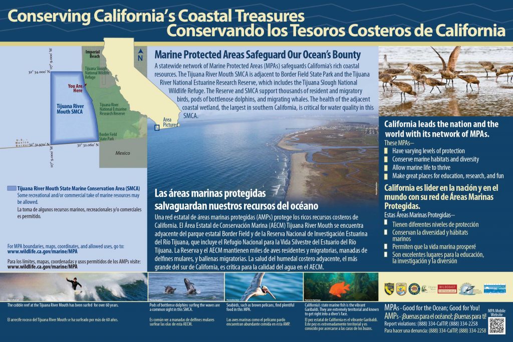
- Tijuana River Mouth Interpretive Panel
- Tijuana River Mouth You Are Here Sign
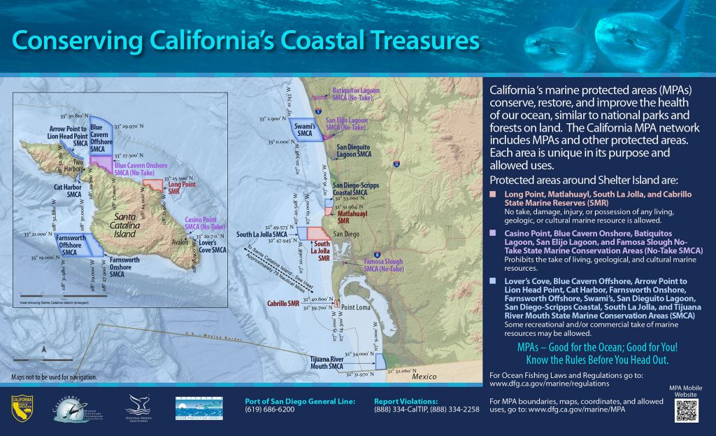
- San Diego Harbor Sign