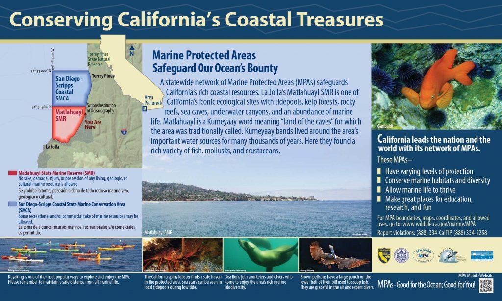
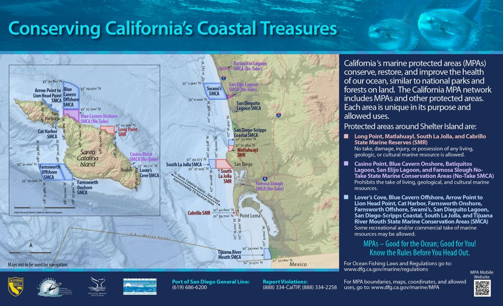
GPS Boundary:
This area is bounded by the mean high tide line and straight lines connecting the following points in the order listed:
32° 51.964′ N. lat. 117° 15.233′ W. long.;
32° 51.964′ N. lat. 117° 16.400′ W. long.; and
32° 51.067′ N. lat. 117° 16.400′ W. long.
Permitted/Prohibited Uses:
- Recreational Fishing:
- Allowed Species: None
- Prohibited Species: All
- Commercial Fishing:
- Allowed Species: None
- Prohibited Species: All
- Other Regulations:
- Boats may be launched and retrieved only in designated areas and may be anchored within the reserve only during daylight hours.
Effective as of: December 19, 2012
Additional Resources:
- Fishing Guide San Diego MPAs (346K PDF file)
- Marine Recreational Brochure San Diego MPAs (749K PDF file)
- San Diego Regional Map (3.5M PDF file)
- Matlahuayl Interpretive Panel
- San Diego Harbor Sign