GPS Boundary:
This area includes the waters below the mean high tide line within Bolsa Bay estuary southward of a line that approximates the Warner Avenue bridge located between the following two points::
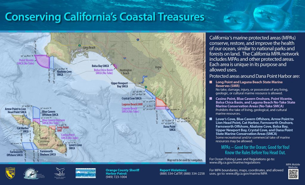
33° 42.70′ N. lat 118° 03.63′ W. long.;
33° 42.70′ N. lat 118° 03.61′ W. long.;
thence southward along the three nautical mile offshore boundary to
33° 42.22′ N. lat 118° 03.17′ W. long.; and
33° 42.19′ N. lat 118° 03.18′ W. long.
Permitted/Prohibited Uses: *
- Recreational Fishing:
- Allowed Species: Finfish by hook-and-line from shore in designated areas only.
- Prohibited Species: All other living marine resources EXCEPT those listed above.
- Commercial Fishing:
- Allowed Species: None
- Prohibited Species: All
- Other Regulations:
- Boating, swimming, wading, and diving are prohibited within the conservation area.
- No person, except state and local law enforcement officers, fire suppression agencies and employees of the department in the performance of their official duties or persons possessing written permission from the department or employees of Signal Corporation and its invitees for the purpose of carrying out oil and gas operations, shall enter this conservation area and remain therein except on established trails, paths, or other designated areas.
- No person shall enter this conservation area between the hours of 8:00 p.m. and 6:00 a.m.
- Definitions:
- Finfish are defined as any species of bony fish or cartilaginous fish (sharks, skates and rays). Finfish do not include amphibians, invertebrates, plants or algae.
Educational Resources:
Effective as of: January 1, 2012