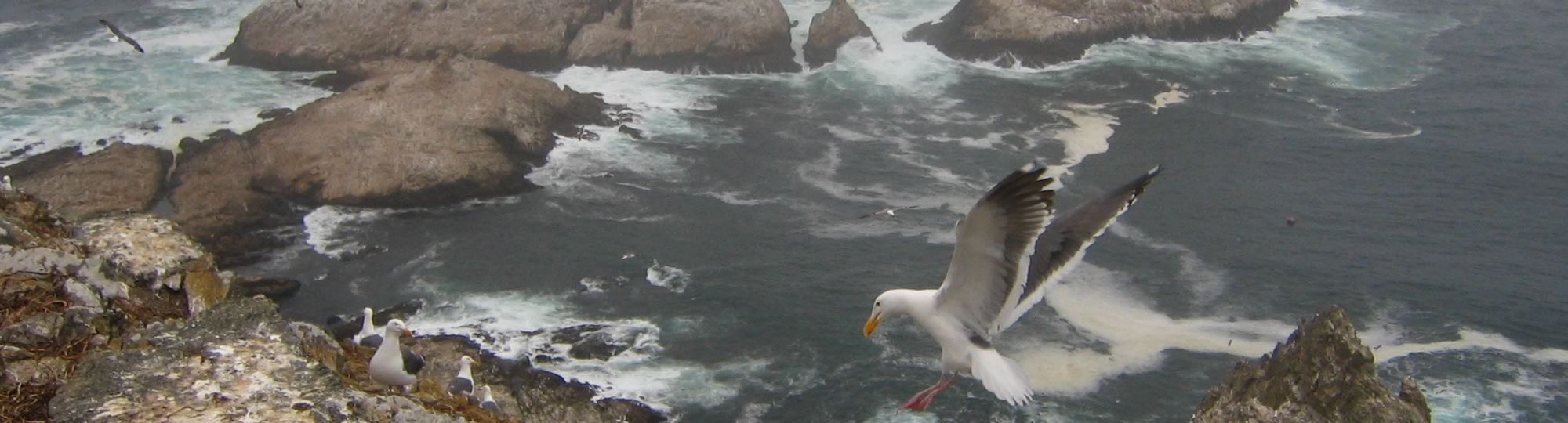
The north central coast region was the second of the regions to establish a network of MPAs. This region of our coast protects some of the most biodiverse marine environments of California in areas such as the Point Reyes Peninsula, Bodega Bay headlands, and the tidepools of Montara and Gerstle Cove. Within the region 25 MPAs and 6 special closure areas were designated from Alder Creek near Point Arena in the north to Pigeon Point in the south. These MPAs represent approximately 153 square miles (20.1%) of state waters in the north central coast region with approximately 86 square miles (11%) designated as “no take” state marine reserves. These MPAs went into effect in 2010.
- Take an interactive tour of California’s North Central Coast MPAs
- Second of the statewide MPA regions to be implemented
- Consists of 25 MPAs and 6 special closure areas
- Represent approximately 153 square miles or 20% of state waters
- State marine reserves cover approximately 86 square miles or 11% of the 153 total square miles
- Was adopted in August 2009 and went into effect in May 2010
- Includes:
- 12 State Marine Conservation Areas (SMCA)
- 10 State Marine Reserves (SMR)
- 3 State Marine Recreational Management Areas (SMRMA)
- 6 Special Closures (SC)
- Leaves 80% of the North Central Coast waters open for fishing
Click on individual MPAs below to see additional information on permitted and prohibited uses of the MPA, boundaries, and associated educational resources available for download.