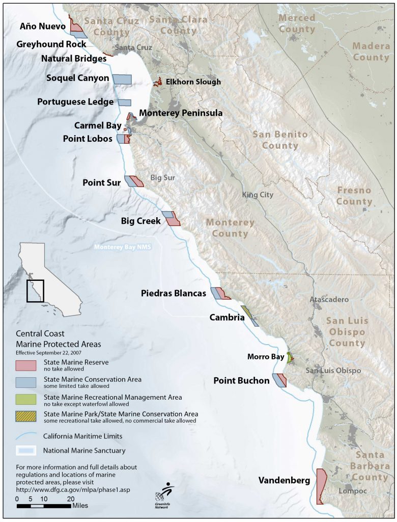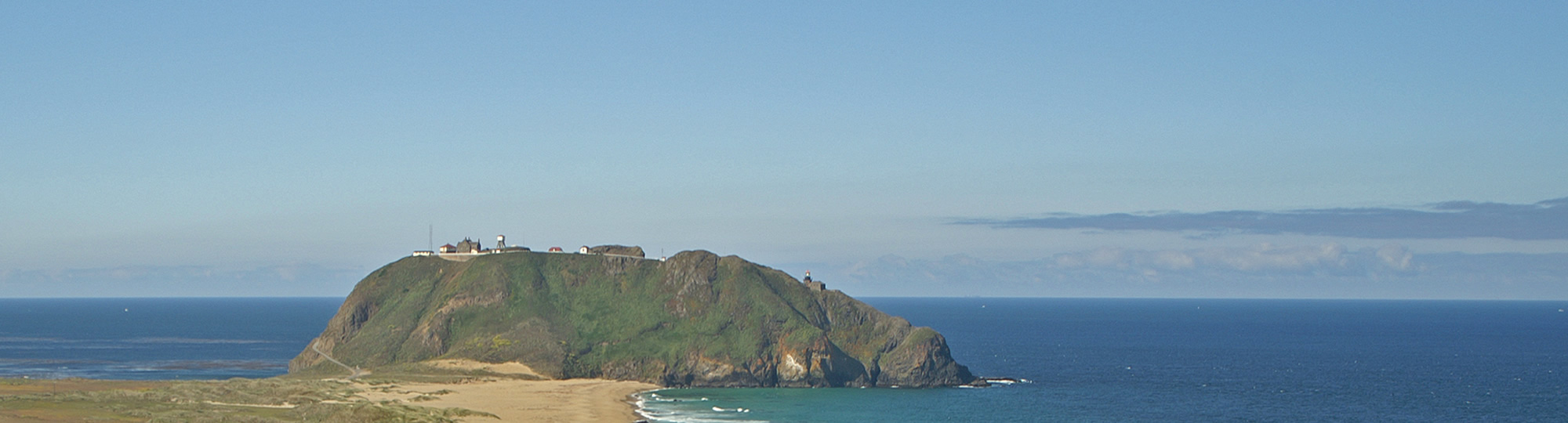
The central coast region was the first of the four statewide regions to establish a network of MPAs. This region protects areas of our coast like the iconic Point Lobos, winding waterways of Elkhorn Slough, the tidepools of Natural Bridges, the elephant seal rookery at Piedras Blancas and many more important marine environments! All together, 29 MPAs were designated from Pigeon Point in the north to Point Conception in the south. These MPAs represent approximately 204 square miles (18%) of state waters within the region with approximately 85 square miles (7.5%) designated as “no take” state marine reserves. These MPAs went into effect in 2007.
- Take an interactive tour of California’s Central Coast MPAs
- First of the statewide MPA regions to be implemented
- Ranges from Pigeon Point in the north to Point Conception in the south
- Consists of 29 MPAs
- MPAs cover approximately 204 square miles or 18% of state waters
- State marine reserves cover approximately 85 square miles or 7.5% of the 204 total square miles
- Was adopted in April 2007 and went into effect in September 2007
- Includes:
- 13 State Marine Conservation Areas (SMCA)
- 14 State Marine Reserves (SMR)
- 1 State Marine Recreational Management Area (SMRMA)
- 1 State Marine Park (SMP)
- Over 80% of the Central Coast waters will remain open for fishing
Click on individual MPAs below to see additional information on permitted and prohibited uses of the MPA, boundaries, and associated educational resources available for download.